Tag: compass ×

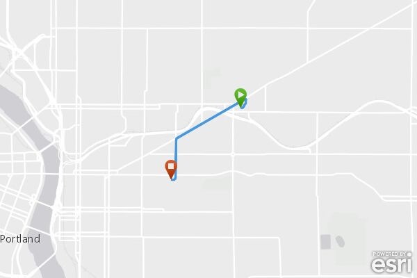
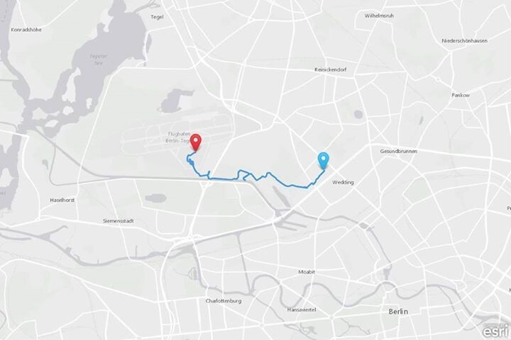
theoretisch ist das sehr geschmeidig, wie ich es mache, praktisch furchtbar kompliziert und nur mit einem enormen fummelwillen umzusetzen. die theorie: app installieren, compass konto anlegen und die app die standort-daten dorthin schaufeln lassen. dann kann man compass per API …

no hurry, i managed to generate images myself. thanks to your p3k core source code on github, where i learned a thing or two: wirres.net/article/archive/62/. thanks for all the great tools!


thanks for the pointer! i managed to extract the coordinates out of the 2.5 MB geojson trip file, that got micropubed to my site. that’s still around 500 KB of coordinates. i think simplifying those coordinates myself would be a little tough for my spatial and …

interesting. i hope it wasn’t me, that caused the triple webmention. (wow, i see, the superfeedr tracker sends autowebmetions, i did not send any webmention myself yet, but i ping google’s pubsubhubbub. i suspect the first 2 mentions are generated through superfeedr …

the micropub trip feature works fine for me now, i get the geojson file and while i havent figured out, how to parse all the trip data into a nice display, i see how it’s supposed to work. i’m wondering though, how you create the trip images. there’s no atlas …

went over to compass.p3k.io and it works well. didn’t get the trip/micropub feature to work yet, but looking forward to. thanks again for opening up your tools.